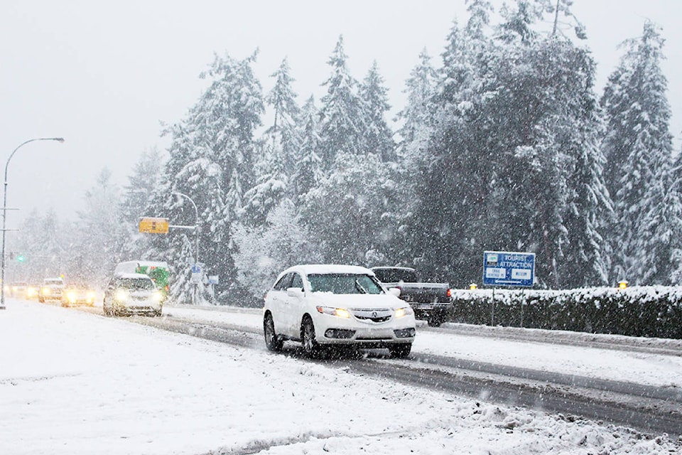
A number of weather systems are expected to bring more snow and wind to the Parksville Qualicum Beach region this week.
Environment Canada has issued a special weather statement for Nanoose Bay to Fanny Bay.
“Outflow winds through mainland coastal inlets and valleys will continue to drive cold arctic air into the Georgia Basin through much of the week. Over the next few days, a series of disturbances will affect the south coast,” reads the statement.
Light flurries coming down in @City_Parksville with flurries in the forecast for the next couple days. Drive safe out there! @ParksvilleNews pic.twitter.com/MA8ZDR4fGD
— Emily Vance (@Emily__Vance) January 13, 2020
Environment Canada said the first system Monday night featured northwesterly winds developing over the Strait of Georgia.
READ MORE: ‘It was mayhem down here’: Storm causes huge damage at Nanoose Bay marina
A second system is expected to reach the south coast on the evening of Tuesday, Jan. 14, with snowfall expected for most of the night.
In Parksville, the Weather Network is calling for between 10 and 15 centimetres of snow on Tuesday, Jan. 14. For Wednesday, snowfall of five to 10 cm is in the forecast.
In Qualicum Beach for Tuesday, snowfall of two-to-four centimetres is expected.
A third system on the horizon for the evening of Thursday, Jan. 16, and its impact is still uncertain at this point.
“The mainland coast may suffer a glancing blow, however Vancouver Island may see a considerable amount of snow as outflow winds increase with the passage of this system,” reads the statement from Environment Canada.
To report severe weather, people can email BCstorm@canada.ca or tweet with the hashtag #BCStorm.