The Regional District of Nanaimo (RDN) will receive a $150,000 provincial government grant to conduct a geologic hazard (geohazard) risk study.
The grant is coming from the BC Community Emergency Preparedness Fund, Disaster Risk Reduction – Climate Adaptation stream.
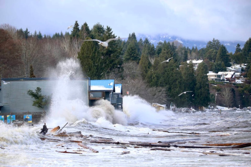
Adapting to a changing climate requires a better understanding of the risks related to geohazards in the region, which are events caused by a combination of natural processes that are potentially dangerous or present a threat to lives, property, infrastructure and the environment.
Due to the local geography and a changing environment, geohazards pose a risk in some areas of the RDN. The geohazard study will determine the locations and level of risk associated with landslides to help reduce potential current and future impacts on residents and the services delivered by the RDN.
“The Regional District of Nanaimo is greatly appreciative of the grant provided by the Government of British Columbia,” said Vanessa Craig, RDN chair. “The study outcomes will help our region be better prepared and more resilient to the effects of a changing climate.”
The study will describe and prioritize steep slope and landslide hazards, primarily in the electoral areas. The RDN will share the findings with local government officials and development professionals to help inform their decisions related to land use planning, such as sustainable site planning, emergency readiness planning and future infrastructure investment.
READ MORE: Climate change report a grim warning for Canada
The study will also provide vital information residents can use to prevent or reduce the risk of local geohazard events. For example, this information will help determine the best location and type for new development and how to avoid increasing the risk to others when developing a property, as well as inform property owners and buyers when a property is in a landslide area.
The knowledge and resources gained through this research will build upon the RDN’s on-going efforts to advance climate action and risk-based planning. Over the last five years, the RDN has completed coastal and river flood hazard analysis, modelling and mapping, helping the RDN become a leader in hazard mitigation, adaptation and local government collaboration.
The study will take two years to complete and will add to the RDN’s online resources on natural hazard information in the region.
For information on completed coastal and river flood hazard projects, including maps, visit rdn.bc.ca/flood-management-program. For those who live in or near flood-prone areas, the RDN has a wide range of emergency preparedness resources available at rdn.bc.ca/flooding.
— NEWS Staff, submitted