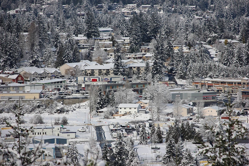
Areas of eastern Vancouver Island could see up to 15 centimetres of snow this weekend, according to Environment Canada.
In a special weather statement issued this afternoon, Environment Canada forecasts snow beginning the night of Saturday, Jan. 23 and lasting until the morning of Sunday, Jan. 24 for areas from Duncan to Nanaimo, Nanoose Bay to Fanny Bay and Courtenay to Campbell River with amounts from five to 15 cm.
The Malahat highway, from Goldstream to Mill Bay, is also expected to see snow, the weather statement said.
While there is currently a ridge of high pressure over B.C., a low pressure system is expected to move south along the coast bringing cloud into the area Saturday afternoon, said Environment Canada.
Snow is expected to change to mixed rain in many areas by Sunday afternoon, it said.
Weather in the mountains can change suddenly, leading to hazardous driving conditions, Environment Canada said.
For weather information for your area, go to Environment Canada’s website.
READ ALSO: Environment Canada releases 2020 Top 10 weather stories list