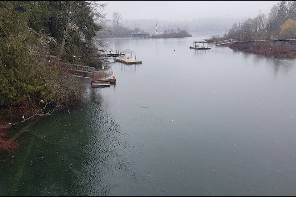
It’s been mostly a cool and wet April so far across Vancouver Island, and warm and sunny skies may not be coming any time soon, according to Environment Canada.
Derek Lee, a meteorologist with Environment Canada, said the recent cool weather was the result of a low pressure system that parked itself over much of Vancouver Island, last week.
He said that created an unstable weather pattern that, when mixed with the cold surface of the ground, resulted in small accumulations of snow, usually a rare event at this time of year, as far down as sea level on parts of the Island.
RELATED STORY: RARE APRIL SNOWFALL EXPECTED FOR PARTS OF VANCOUVER ISLAND, LOWER MAINLAND
Lee said the weather will warm a little this week, with temperatures in the low teens during the day and around 5 C at night, but that’s the result of a wet weather system that is due to move into the area from the Pacific Ocean that will bring rainy and cloudy weather to the region, dampening any enthusiasm for many that spring will come soon.
“This is a La Niña year, so we can expect cooler temperatures to last until mid to late spring, probably through the first half of May,” he said.
“Not every day will be cool and we can expect to see some warm and sunny days mixed in, but it will be predominately cooler and wetter than usual for this time of year.”
Lee said summer is still too far away to predict the weather with any accuracy, but he expects that the region may start trending towards more average temperatures in June as the impacts of La Niña begin to fade.
robert.barron@cowichanvalleycitizen.com
Like us on Facebook and follow us on Twitter
