While there may be signs of spring beginning to pop up around Vancouver Island, Environment Canada warns to not pack away the winter gear quite yet, as there is a chance the area may see snow by the weekend.
According to the weather agency, there is a slim risk of seeing some flurries or snow Wednesday overnight into Thursday (Jan. 21) in the Island’s southeastern population corridor, with the chance rising to 60 per cent Saturday overnight to Sunday (Jan. 24).
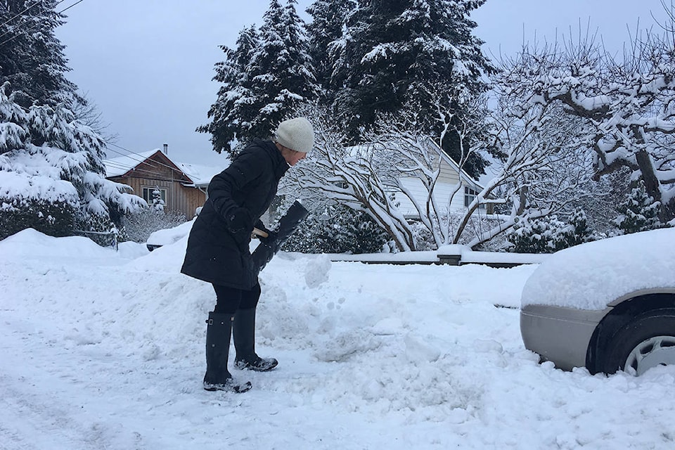
“This is the shift into winter,” explained Lisa Erven, a meteorologist for Environment Canada. “We’ve been in a persistent mild pattern for about a month and a half and this year, in particular, we should prepare well in advance. Use this week to get the snow tires on, the shovels out, toques and gloves and do some shopping early if you need to.”
Erven said despite the stormy, wet start to the new year, temperatures have been above normal, generally between 8C to 11C. Despite daffodils beginning to poke through some parts of the ground in places, she added the “quite unusual” temperatures are off the normals (usually in the single digits) because of a persistent storm pattern from the southwest.
RELATED: Nearly monthly precipitation totals to start the year in the Valley
However, the weather is looking like it may change.
“We’re finally seeing that wintertime weather with a northwesterly storm trough bringing colder air down with it,” she noted.
On Tuesday (Jan. 18), highs in the Comox Valley are expected to reach 7C and lower throughout the week. As the cold air settles in over Vancouver Island, Erven said the highs near the weekend are set to reach around the “low single digits … which is at or below normal.”
She explained there is a weak disturbance moving down the coast, and depending on cooling overnight, there is a possibility of flurries Thursday. Despite the chance, the bigger risk for snow is a system that is set to drag dry, cold air out from the interior of the province on the weekend.
“It’s a prime situation for coastal communities to see a weekend event. Currently, we’re forecasting snow at higher coastal elevations but it’s very challenging because there are so many nuances - that’s why you can see rain in one part but heavy snow accumulation in another not too far apart.”
Erven explained while some of the eastern parts of Canada may see a polar vortex (very cold air moving down from the Arctic southward) throughout the latter part of winter, it’s a technical term less used on the West Coast. The mountains help block the really cold air from infiltrating, and it takes longer for the arctic air to work its way down, she noted.
Despite the predicted winter blast, having the Pacific Ocean nearby helps ensure it will be relatively short-lived.
“Having the ocean is like having a giant bathtub sitting beside you. It helps keep the temperatures from falling drastically but we’ve still got quite a bit of winter to go. We do have to prepare ourselves for that mental shift that it is still winter.”
photos@comoxvalleyrecord.com
Like us on Facebook and follow us on Twitter